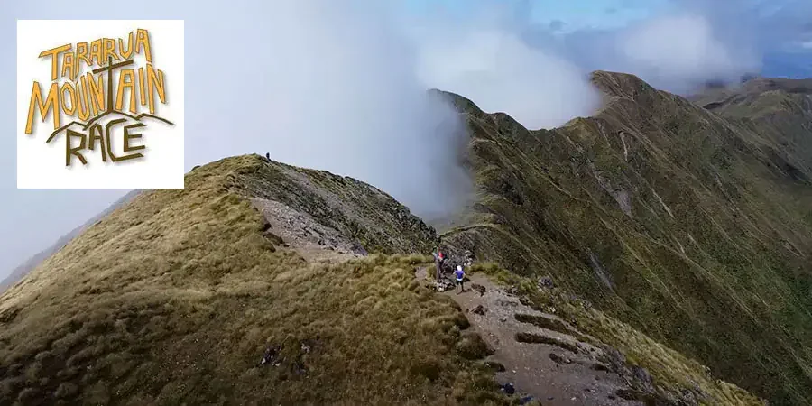
Tararua Mountain Race
📅Saturday, 14th March 2026
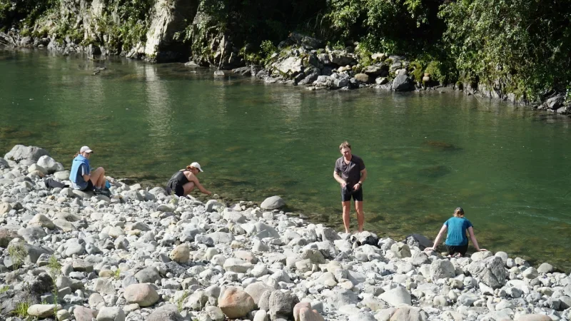
📍Kaitoke to Otaki Forks, Tararua Ranges (Wellington Region)
Distances: 36K, 24K, 13K
The iconic Tararua Mountain Race (TMR) on 14 March 2026 tackles the rugged terrain of the Tararua ranges, just north of Wellington.
The back up date is 15 March 2026.
Entries open October 2025.
The TMR is one of New Zealand's oldest mountain races, having first been raced in 1990. The Tararua Ranges are widely renowned in New Zealand for tough mountain terrain and weather, so the race is not for the inexperienced or faint hearted.
Courses
The Field Dash 📏13KM | ⛰️770M
This race starts and finishes at Otaki Forks (the finish line for The Southern Crossing.) The route heads up the track to Field hut, which sits on the edge of the bush line, and returns on the same route. This is a great entry level race for someone wanting to get their first little wilderness and mountain running experience.
The Kime Climb: 📏24KM | ⛰️1300M
It also starts and finishes at Otaki Forks, following the same route as the Field Dash until you reach Field hut, where you break the bush line to get views (hopefully) over the Kapiti Coast to your right and the Main Range to your left.
You continue along the boardwalks and rocky ascents up to Kime Hut, which is your 2nd aid station and turn-around point, before turning around and heading back down.
The Southern Crossing - 📏36KM | ⛰️2300M
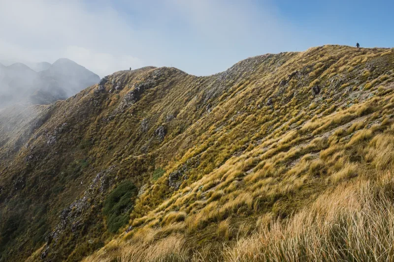
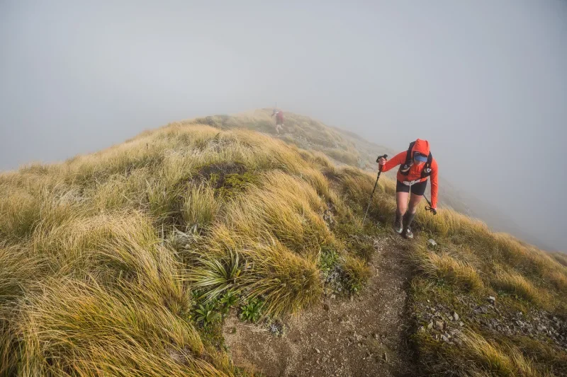
The 36km event is defined by the weather conditions. The Tararua Mountain Range is notoriously changeable environment, with high winds and low cloud being common for a 10km section of the race when above the bushline. Extreme care is required.
Participants start the Southern Crossing in waves, depending on their estimated finish time, those aiming for a fast time start later in the morning. We offer transport options from the finish to the start. We are asking runners to car pool to get to the start.
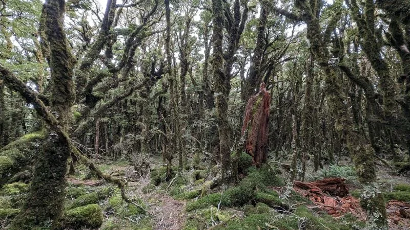
In distance, the track is 35.4km and the total asccent is 2,250m. The total descent is 2,475m. The first part of the race, 16.43km to Alpha Hut, is the hardest, both physically and mentally. Initially, the climb from Kaitoke is of moderate steepness and, if it hasn't rained too much, is reasonable good underfoot, although it tends to be a bit "clayey".
There is a short flattish section after about 6km which opens out for some great views, but after that you plunge back into the trees where there is deep mud, tree roots, steep ascents and the interminable Marchant Ridge, before you reach Alpha Hut, just at the break of the tree line.
From the check point at Alpha Hut the route is above the bush line and traverses various peaks and knobs to the highest and most exposed point at Mt Hector (1,529m). After one more climb over Field Peak you reach Kime Hut, a total of 8.2km from Alpha Hut. From there is a long and steep descent, of 10.8km, to the finish at Otaki Forks.
“I was just on such a high that I managed to complete this mission. It was beyond anything I’ve done in terms of hardness. I was taken by the Tararuas.”
“Flat on my back, looking at the sky. My quads cramping more than that time I had my workmates’ genuine homemade vindaloo.”
Entries open October 2025